The 58-mile long Green River Drift cattle trail, which takes place in and around the Upper Green River Valley in the BTNF’s Pinedale District, has been continuously used since the 1890s and was the first ranching-related traditional cultural property listed on the National Register of Historic Places (this happened in 2014). While this is indeed historic, the cultural history of what is today the BTNF goes back much, much longer.
The Four Ws: Ways of Life—Cultural Wisdom and Heritage

Native American History

At Trapper’s Point, about six miles west of present-day Pinedale, archaeologists uncovered 7,000-year-old charcoal pits and pronghorn bones — traces of a long-running pattern of Native hunting at this critical crossing.
The Tukudika (Sheepeater) Shoshone, gathered camas root and pine nuts and hunted trout and bighorn sheep in the high country around Yellowstone. Archaeological evidence suggests they maintained one of the longest continuous occupations in what is now Wyoming. Their tools, including soapstone bowls, reflect traditions that reach back more than 1,000 years.
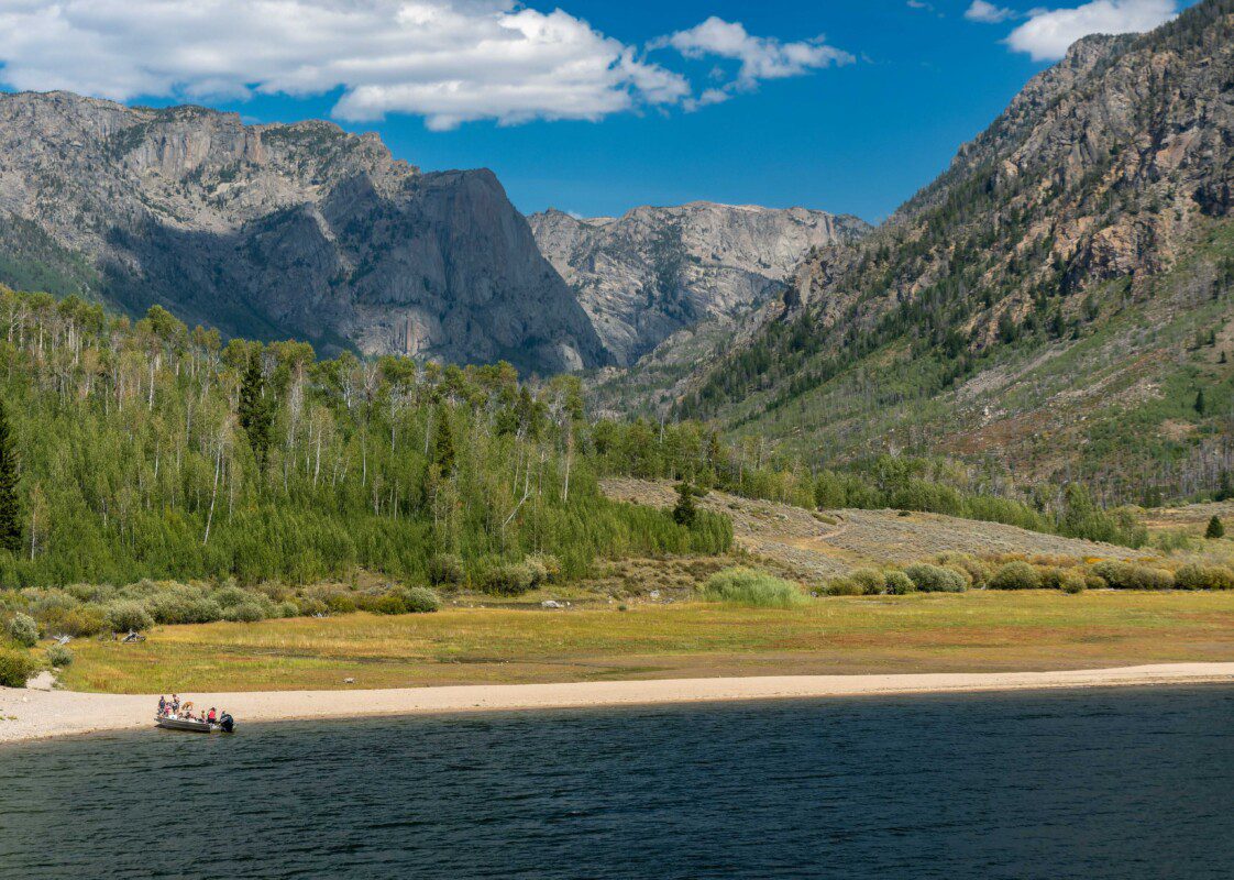
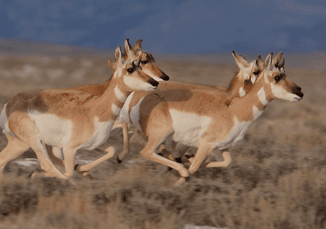
Until 1875, Eastern Shoshone traveled seasonally through western Wyoming. In spring, they moved west over the Wind River Range, likely via South Pass, arriving at Willow Lake in mid-June alongside migrating deer, pronghorn, and elk.
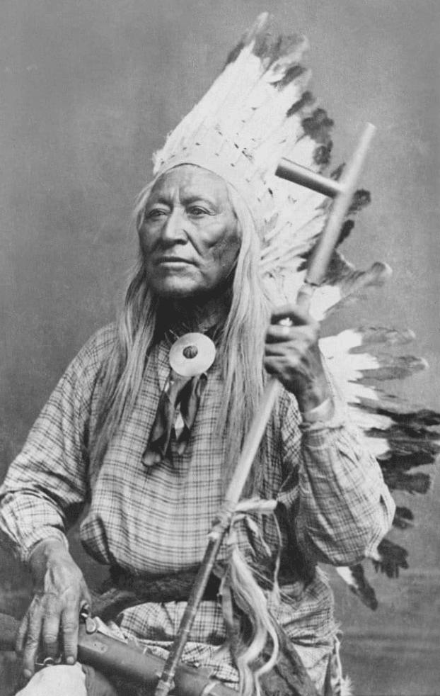
During the Upper Green River Rendezvous from 1825 to 1840, it wasn’t just mountain men gathering. Native Americans were there as traders, too. Jim Bridger, one of the namesakes of the BTNF, was a friend of Shoshone Chief Washakie (shown to the left) and was married three times to native women: a Flathead, a Ute, and Shoshone.
In the early 1800s, the extensive network of trails used by Native Americans informed the travel of many fur trappers and explorers. The Astorians crossed Union Pass along Shoshone trails. John Colter’s journeys up the South Fork of the Shoshone River and the Gros Ventre Range followed existing Indian trails. In 1842, Lt. John C. Fremont of the U.S. Topographical Engineers entered the Green River Basin along a trail long used by the Shoshone to reach Willow Lake.
Togwotee Pass, in the BTNF’s Blackrock District, is named after the Shoshone guide Togote, who, in 1873, guided Capt. William Jones’s expedition in the area.
Today, the Wind River Indian Reservation remains home to about 4,000 Shoshone and 6,000 Northern Arapaho across 2.2 million acres on the eastern side of the Wind River Mountains.
Trails and Settlers
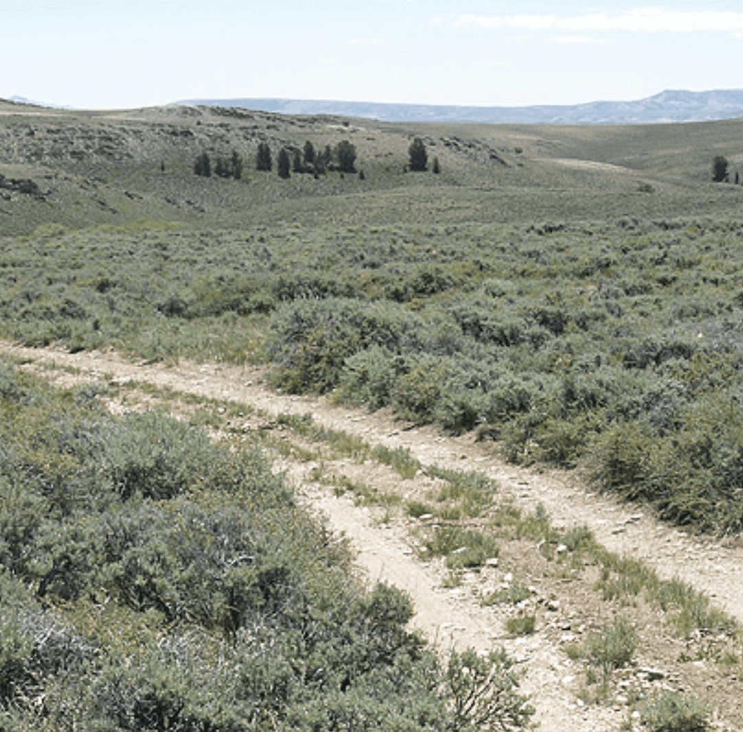
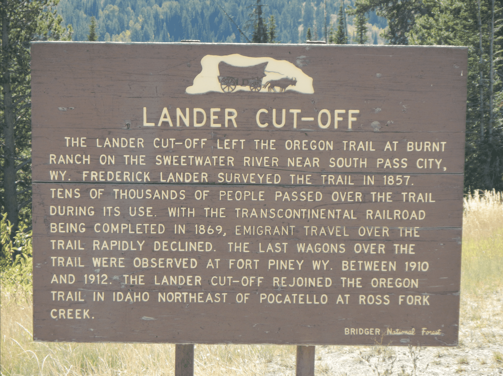
Some of these same Native routes later became pathways for westward expansion. The Lander Cutoff Trail is one example. This National Historic Trail carried about 13,000 emigrants west along a route that was less arid and easier to travel. It was also the first federally funded road project west of the Mississippi River.
Wagon trails gave way to railroads, and the Bridger-Teton played a part in that transformation, too. Timber from the forest supplied railroad ties and, later, mine props for the Kemmerer coal mines. Reminders of the “tie hack” era still linger along the Green River, the Hams Fork River, and in the mountains west of LaBarge and Big Piney.
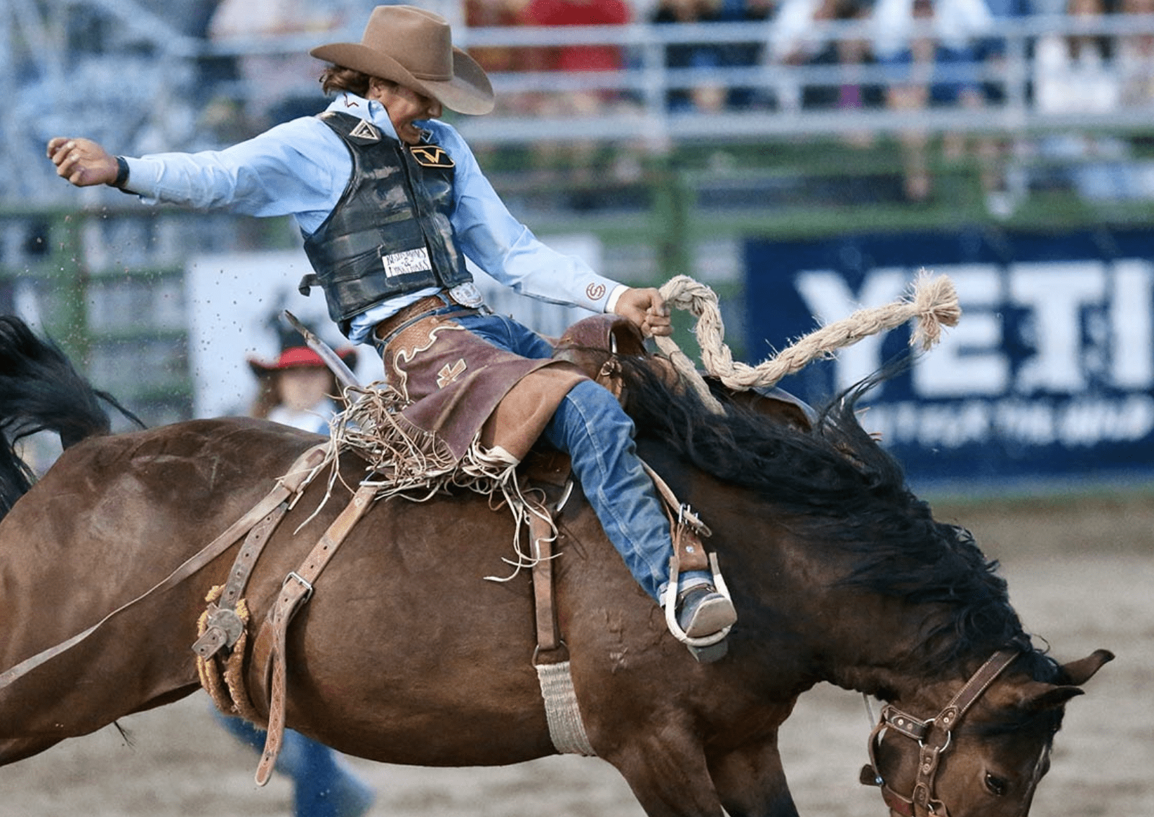
A Living Ranching Culture
In the southern and eastern Bridger-Teton, the rhythm of daily life still reflects fur trapping, ranching, and the demands of the land. Big Piney, founded in 1879, is the oldest permanent settlement around the BTNF. Fierce winter weather forced emigrants traveling with 1,000 cattle to stop at South Piney Creek and wait for spring. When spring finally arrived, the lush grass and thriving cattle convinced the emigrants to stay put. They established a post office, store, and schoolhouse.
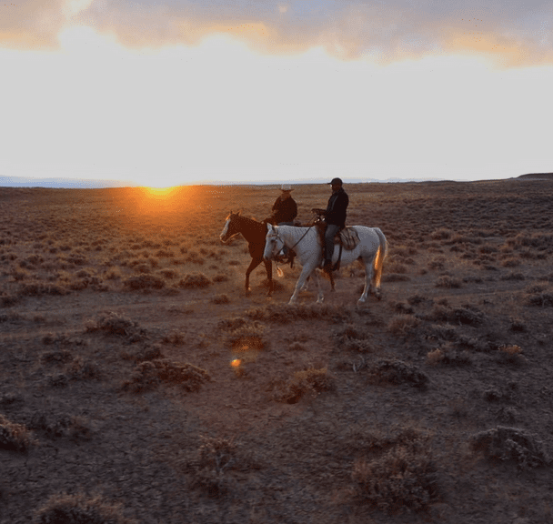
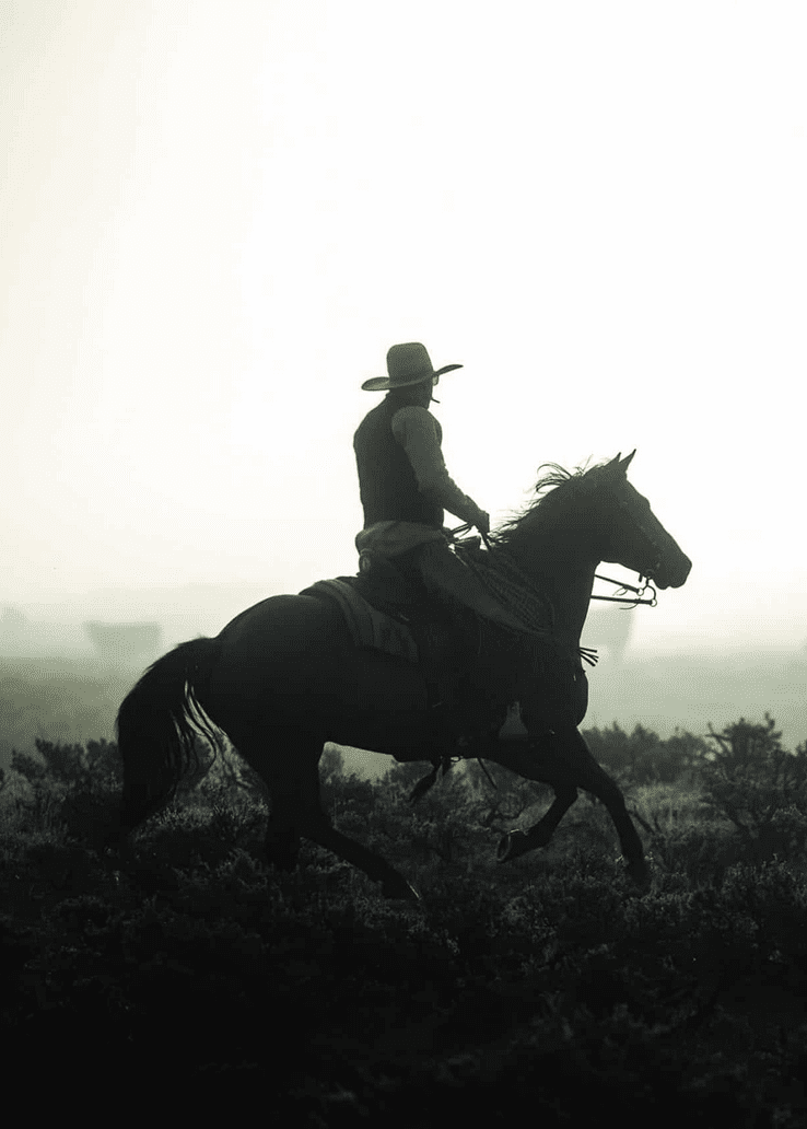
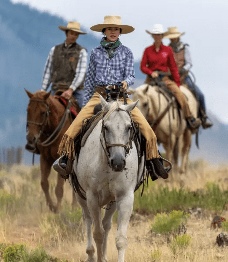
No story captures the region’s ranching identity more clearly than the Green River Drift. For more than a century, this 58-mile cattle trail has carried livestock by horse, cowboy, and dog from desert spring pasture to summer range high in the forest. In 2014, it earned a place on the National Register of Historic Places as the first ever ranching-related traditional cultural property. Its legacy has since reached a wider audience through Wyoming Public Broadcasting and CBS’s 60 Minutes. [lnk: ] and on CBS 60 Minutes.
The Upper Green River cattle allotment is the largest in the Bridger-Teton. Each late summer, cowboys spend weeks sorting cattle back into their home ranch herds. Across the forest, 94 active livestock allotments keep ranching traditions visible in county fairs, 4-H programs, and the daily ranch life.
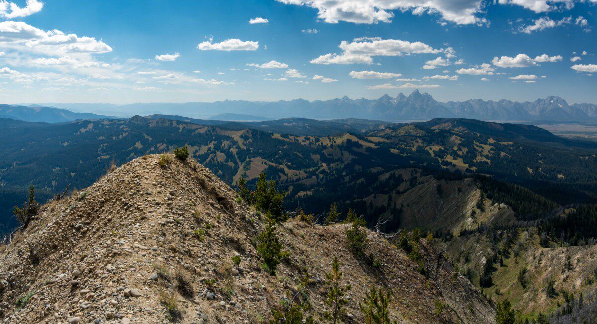
Forests & Futures
In the northern Bridger-Teton, elk, beaver, outfitting, hunting, and the grandeur of the Teton Range helped shape Jackson Hole’s early tourism economy, which continues today. Ranching also influenced settlement, especially west of the Snake River, where many historic cattle ranches remain active. East of the river, ranches that catered to dudes helped define the region’s character in a different but equally enduring way.
Interestingly, sheep were banned from the original Bridger-Teton in 1905 based on the rationale that they ate the vegetation upon which elk herds depended for forage. Because of this early policy, the original Teton National Forest is likely the only national forest that was not affected by sheep grazing, offering ecological reference conditions not available elsewhere.
Parts of this essay were borrowed from the work of Wyoming Humanities and the Wyoming Migration Initiative. Read that entire essay here.