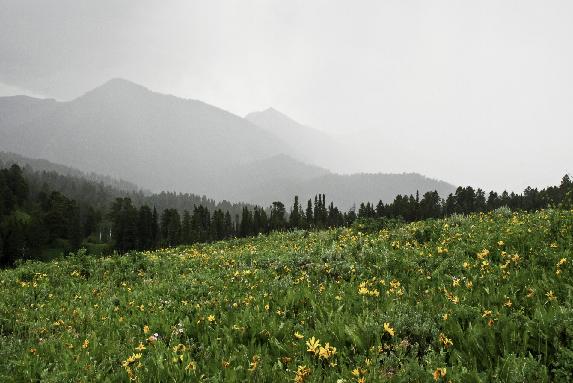
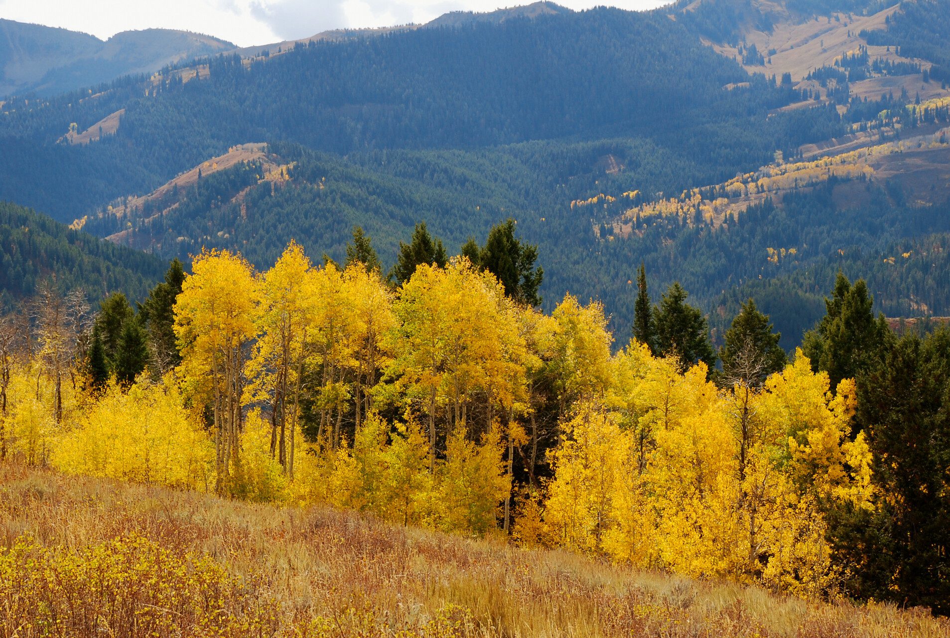
The Wyoming Range National Recreation Trail (WRNRT) is a 75-mile-long trail spanning the crest of the Wyoming Range and connecting several of the BTNF’s six districts. It passes through the lesser-explored southern end of the 20+ million acre Greater Yellowstone Ecosystem, of which the BTNF is just one part. Hikers, horseback riders, and mountain bikers may use this trail. (A short section, between Lake and North Piney Creeks is open to motorized dirt bikes.) The trail is an out-and-back and can be done in either direction. One end is Snider Basin at the South Piney Creek trailhead; the elevation here is about 8,200 feet. The other end is the Bryan Flat Guard Station on south side of Hoback River and Camp Davis; the elevation here is about 6,300 feet. Much of the trail is at 9,000 feet or above.
While some sections of the trail are well-trod, others are not. This is an adventure for people who are comfortable navigating and who desire not only a feeling of remoteness, but actually being remote. There is little cell service along the trail and the trail is not always marked.


